

GRITSS
Jump to: Mission Objective, Mission Parameters, Publications, Additional Information, Mission Website
Mission Photos:
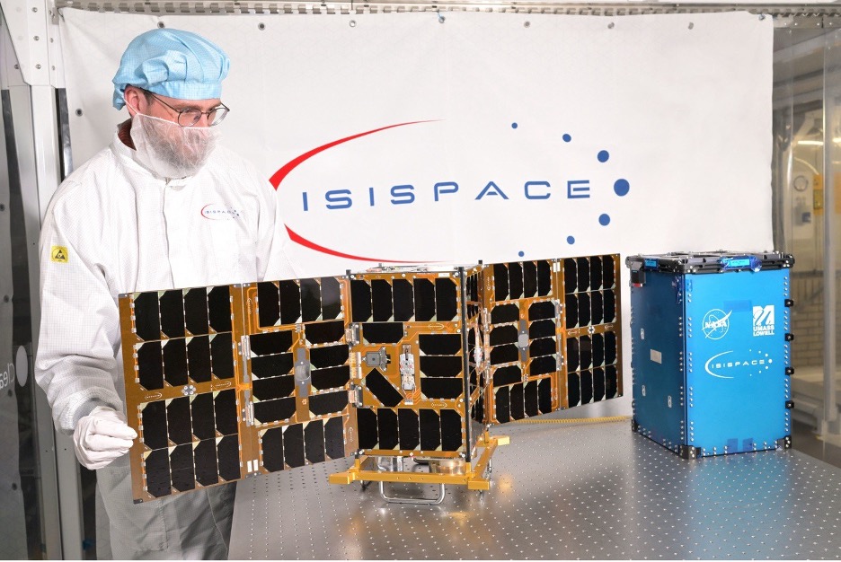
Mission Objective:
NASA's Geodetic Reference Instrument Transponder for Small Satellites (GRITSS) is a CubeSat technology demonstration designed to eliminate "site tie" errors between Global Navigational Satellite System (GNSS), Very Long Baseline Interferometry (VLBI), and Satellite Laser Ranging (SLR) ground stations. Currently, combining data from these independent systems without adequate measurements of site ties can introduce errors into the International Terrestrial Reference Frame (ITRF). GRITSS solves this by acting as a unified space-based reference point observable by all three geodetic techniques. Carrying a modified GPS receiver to convert signals for VLBI alongside a traditional laser retroreflector, GRITSS bridges these systems to help achieve the Global Geodetic Observing System (GGOS) goal of 1-millimeter frame accuracy, ultimately improving global Earth science and precision navigation.
Mission Parameters
| Satellite: | GRITSS |
| Sponsor: | NASA |
| Expected Life: | 12 months |
| Primary Application: | Positioning, Navigation, and Timing |
| COSPAR ID/ILRS ID: | 2026-156BQ/2615663 |
| SIC Code: | 4383 |
| Satellite Catalog (NORAD) Number: | 69931 |
| Launch Date: | 2026-07-07 |
| NP Bin Size: | 5 seconds |
| RRA Size: | 40.64 mm |
| RRA Shape: | Single Cube |
| Reflectors: | 1 corner cube |
| Size of Reflector: | 40.64 mm diameter |
| Orbit: | Sun synchronous |
| Orbital Period: | 96.55 minutes (5793 seconds) |
| Inclination: | 97.825 degrees |
| Altitude: | 590-597 km |
| Eccentricity: | 0.000494 |
Publications:
- Beaudoin C., Merkowitz S.M., Livingston H., et al. "Technology demonstration of the Geodetic Reference Instrument Transponder for Small Satellites (GRITSS)", Proc. SPIE 13546, Small Satellites Systems and Services Symposium (4S 2024), 135463N (21 Mar 2025), doi:10.1117/12.3062660.
Additional Information:
- "NASA Small Satellite Could Make Global Positioning More Precise". (NASA Press Release, July 9, 2026).